
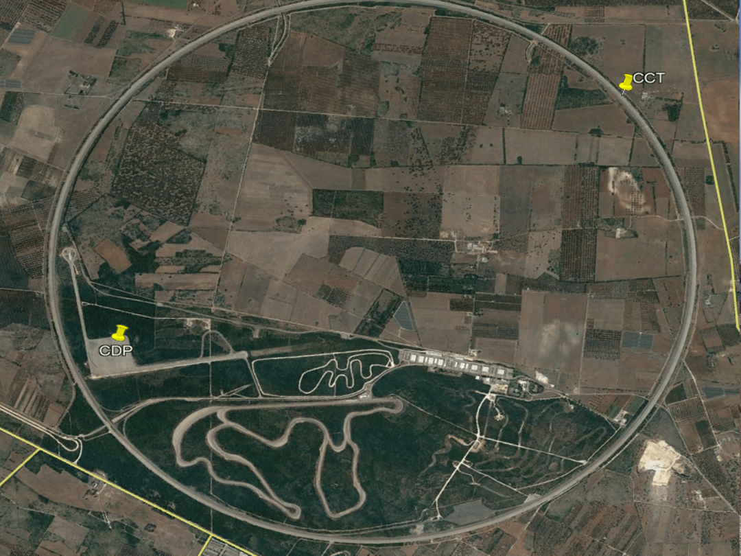
Improvement project of a Dynamic test square in the known supercar track in Puglia.
This work, due to its characteristics and the final precision requested by the client, represents the summary of our knowledge of road platforms with 3D systems.
All the phases below
– Survey:
The first step was to set up a network of support elements whose planimetric coordinate was derived from a polygonal performed with Total station having 0.5 precision while the altimetric coordinate was derived from precision leveling with digital level and invar staff.
The actual survey was realized with a static laser scanner and with Mobile Lidar MX9 and for the Acceleration Lanes we used the Trimble MX9 Mobile Lidar.
All the support points for the laser scanner surveys were detected with the Trimble SPS930 1 ”Total Station, considering all the support elements mentioned before.
– Project CONSTRUCTION:
What we found in the survey phase led us to study an effective and decisive leveling method, considering as much as possible the setting of the Executive Project attached to the contract.
Square:
The survey highlighted the lack of flatness between the old paving layers, identifying undulations with important cusps.
The executive project aimed to solve these lack of flatness by spreading a bitumen layer that they called leveling.
Spreading the leveling in this case would have led to important transversal thickness differences and the compaction of different thicknesses of different compressibility would have re-presented the same problems at the end of the work.
This is why we chose the design with flat surface milling a 3 cm layer of leveling (bituminous conglomerate used as a leveling agent) following the design indications, also removing the old layer to place a better anchoring surface for the new paving.
According to the contract we considered a 0.37% longitudinal slope from north to south and a 0.00% transversal slope.
As a result, the milling would have had variable thicknesses and the accuracy of the same was guaranteed by the 3D Trimble PCS900 3D UTS systems.
Acceleration Lane 1: irregularity of the existing platform did not allow a similar setting to that of the square. To avoid exaggerated leveling or milling first of all, a profile was considered to regularize the longitudinal course; while transversally it was relevant the need of sections with a constant trasverse slope of 1.50% except the connections with the square and the final parabolic.
Acceleration Lane 2:even in this part a milling profile was identified to regularize the longitudinal course starting from the finished surface – 8 cm of the connection with the grip test area, which would optimize the altimetric variations values of the current layer and that would end at the project level -8 cm of the square.
The transversal slope was very variable and in some cases it didn’t exist so it has been fixed by imposing a percentage (except on the connections) of 1.50% or 1.20%.
With this choice, the existing platform was regularized by reducing the expected quantities of leveling.
– REALIZATION phase:
The client requested a precision on the final paving of ± 2 mm to test particular parts and sensors of luxury cars on the square.
The great results obtained through all the phases are indicated below, despite the problem of the strong wind that insisted on the area.
- First phase: 3D assisted milling.
In this phase, we placed the stations with care so that the milling machine was never more than 100 meters away from them and protecting them from the wind by placing construction trucks on both sides of the stations
- Second phase: assisted paving.
This was the most critical phase, especially when laying the last layer of conglomerate in the desired area.
The stations were placed at a maximum distance of 50 meters to reach the perfect precision . On the two sides of the paving we controlled other stations placed at a maximum distance of 100 meters from each other to check both heights on both sides and the axis of the paving.
The calibration of the equipment was checked daily before the beginning and in the last phase we used up to 12 robotic stations simultaneously with the help of 4 surveyors.
Equipment used: