
About US

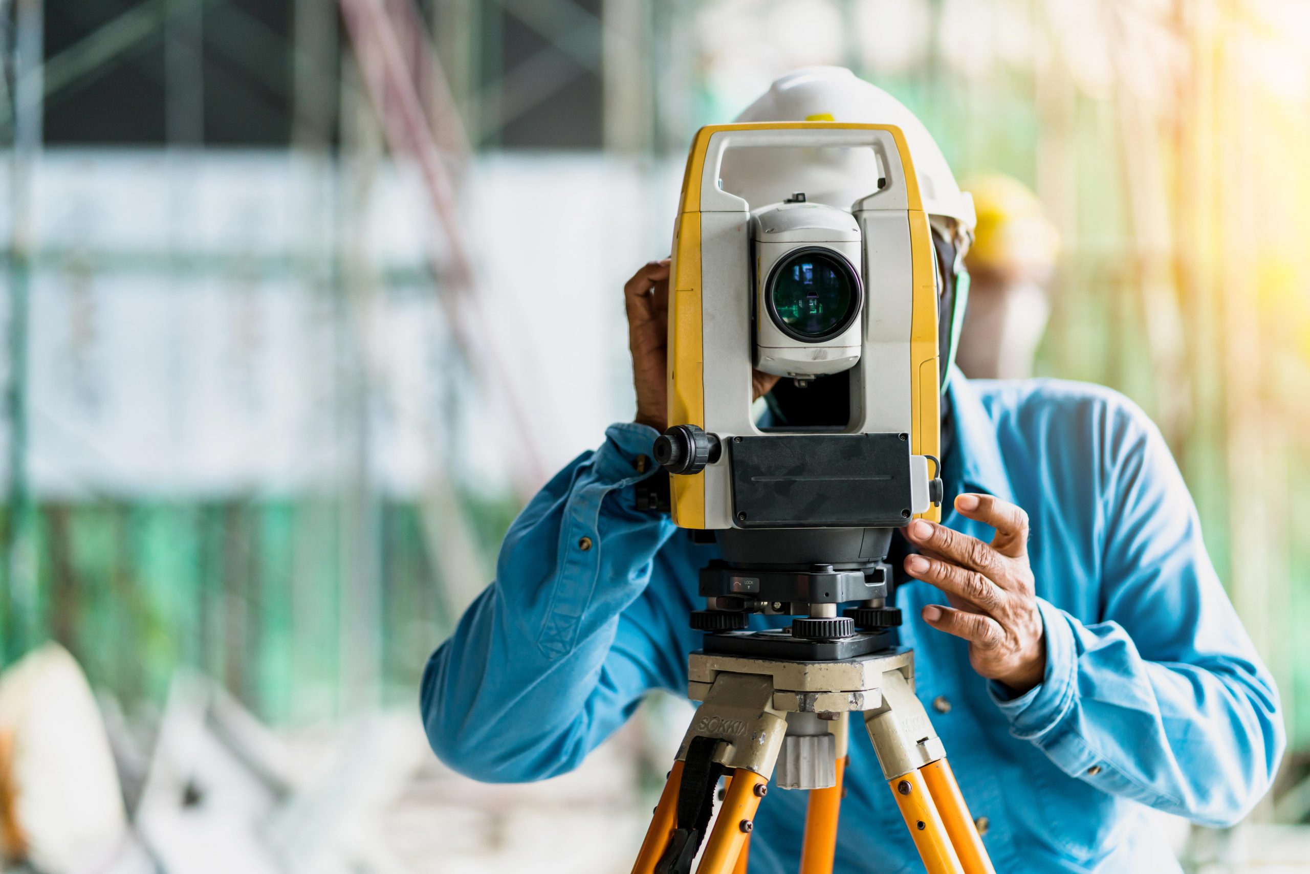
Mobile Mapping | Topographical assistance | Civil Engineering
GEO & DOMUS Group is a reality composed of experts with specialized technical skills in the topographic and engineering area. We support the customer during the total management of infrastructural and construction sites of any type.
Thanks to the partnership established with the Gaia Group , we are the only company in Italy to own Mobile Lidar and Mobile Mapping high-tech equipment.
Our History

Our team
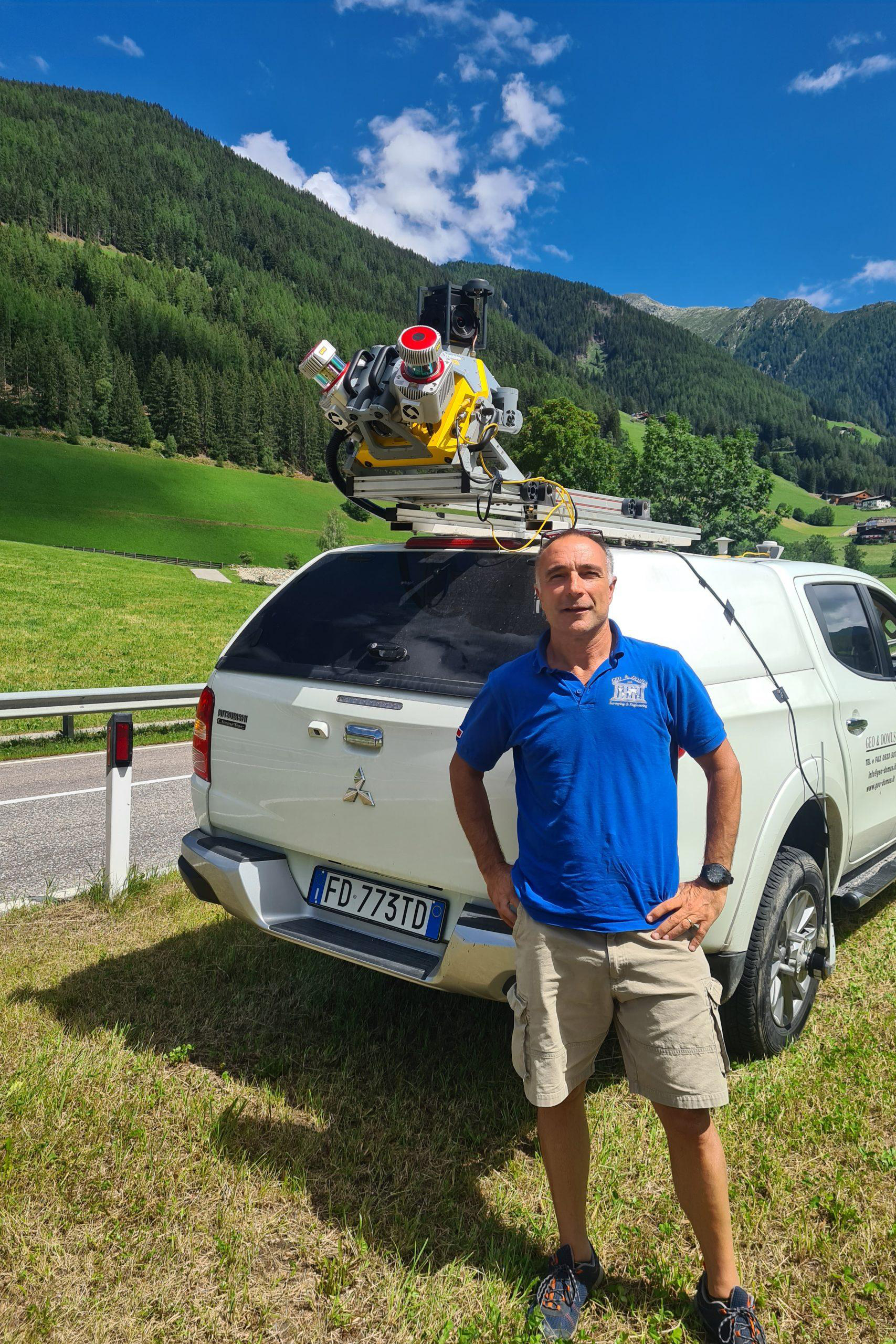
Alberto Guarnieri
Surveyor
Bio and curriculum vitae
ALBERTO GUARNIERI
Born in 1969, he founded Geo & Domus S.r.l. in 1993.
Graduated as a surveyor in 1988, he specialized in topography and road design and with ENI group he created the design of the Milan-Bologna High Speed railway, and then worked on surveys and tracing about civil works and railway superstructures.
After that, he worked as a topographer and coordinator for some of the major infrastructural sites in Italy: Variante di Valico of the A1, Bre.Be.Mi., widening the highway A14, Milan-Verona High Speed Line, East Ring Road Outside Milan and so on.
He is a pioneer with the first interventions dated 2011, and he is currently one of the greatest Machine Control experts in the milling and paving field with 3D systems.

Tommaso Vitali
Engineer
Under construction...
Matteo Pecchia
Engineer
Under construction...
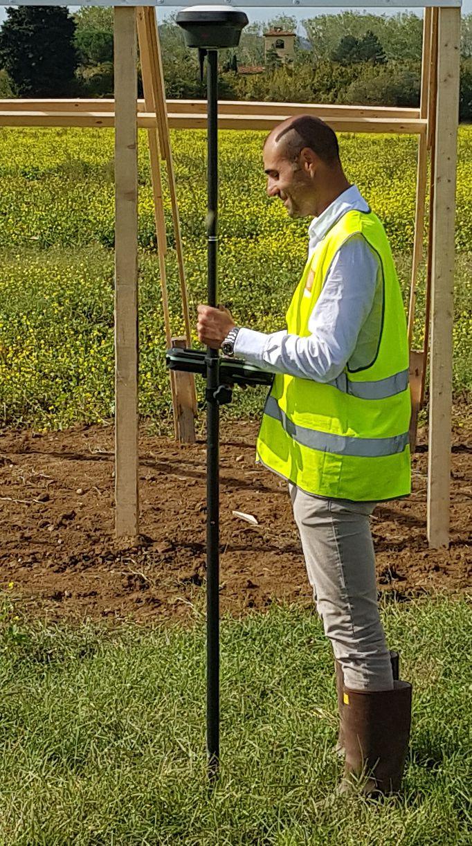
Riccardo Panichi
Surveyor
Bio and curriculum vitae
RICCARDO PANICHI
Born in 1977, freelance surveyor since 1998, he is the founder of Gaia Group srl.
Graduated as surveyor in 1996, he immediately specialized in special topography, linked to the 3D Laser Scanner world.
In 1997 he participated with the American Stanford University for the first 3D Laser Scanner project linked to Michelangelo’s David. He is the greatest Italian expert in Laser scanner systems in plant engineering. He has improved his skills in data post-processing and recently he has specialized in BIM.
He has followed the largest global interventions relating to the Laser Scanner in the plant engineering field, following the survey of the platforms in Congo for the Eni Congo project, and for 14 sites located in Nigeria including the ENI Nigeria Port Horcourt project.
He signed a contract with General Electric for the maintenance of the Nuovo Pignone turbines all over the world, carrying out laser scans for disassembly and reassembly activities.
For the BIM part, he followed many Italian projects applying European and worldwide architectural and engineering studies.